Landforms Illustrated by C. R. Twidale and M. R. Foale
Landforms Illustrated by C. R. Twidale and M. R. Foale
Couldn't load pickup availability
Landforms Illustrated
by C. R. Twidale and M. R. Foale
Thomas Nelson, 1970, black and white photographs throughout, colour maps, large paperback
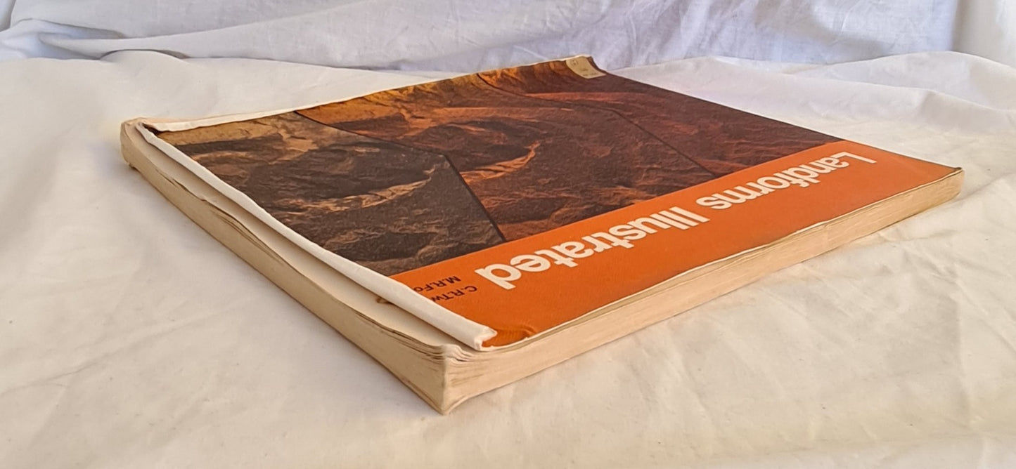
Good Condition, some edge and shelf wear, some rubbing and bumping to edges and corners, ex-library with stamps and stickers to endpapers, sticker to front cover, curling and creasing to covers and corners, small tears to covers, age toned edges (see photographs)
“Each section of this book consists of two parts. First, a brief and simply worded text gives an outline of the general theory concerning a group of related features and forms. The most important forms are named and described. Then follow numerous annotated illustrations of several types; ground photographs; air photographs; maps and diagrams. These illustrations are drawn from every state in the Commonwealth, from New Guinea and from Antarctica. A few derive from overseas, including New Zealand.
The map extracts have been prepared to emphasise the physical characteristics of the area portrayed – cultural detail has been restricted to essentials only. Black, blue and brown plates portray the basic cultural pattern and graticule, water features and contours. The grey plate shows additional material for each map; vegetation, further water features, hypsometry, ice, etc.”
Share


